 |
|
|
 ESTAPLACE.COM REAL ESTATE - FREE LISTING SERVICE -
is an accommodation and real estate directory, where real estate property owners or real estate agencies connect with vacationers and home buyers worldwide. If you are a seller, you can add listings in few seconds, and if you are a buyer you can search listings to find your dream property!
ESTAPLACE.COM REAL ESTATE - FREE LISTING SERVICE -
is an accommodation and real estate directory, where real estate property owners or real estate agencies connect with vacationers and home buyers worldwide. If you are a seller, you can add listings in few seconds, and if you are a buyer you can search listings to find your dream property!
|
Africas Enchanted Forests of Mt. Kenya: a writers recount of the escapade.
by Robert Muhoho - info@estaplace.com (it was shown 7476 times) 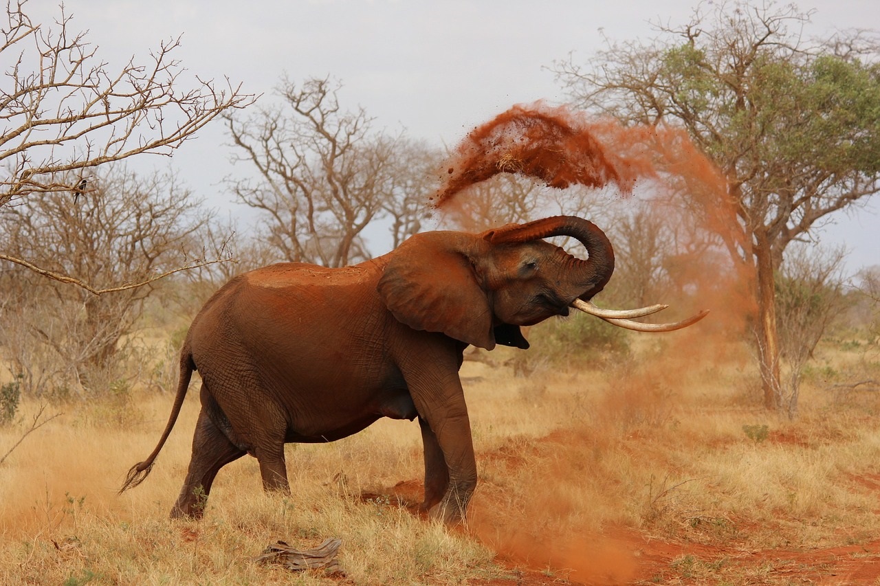 The drive from Embu to Meru has some breath taking scenery.
We turn to the mountain, climbing higher up the slopes. The country side is picturesque, with a green carpet of tea plantations, coffee shrubs and macadamia trees. The air is tantalizingly fresh. From the main road, its hard to imagine that there is fertile farmland so far up Mt Kenya.
The clear rivers
A river runs from the slopes, crystal-clear cold water gushing out of the forest, skirting the farms and down to the plains. Its the Rupingazi. Near the indigenous forest, a trout farm has been set up by the Nyanjara Rivers Waters Association, not only an income generating venture to uplift their living standards, but also to save the mountains remaining forests.
Its a holistic approach to managing ecosystems. The trout must have clean, fast-flowing water to survive. High above the fish and the tea farms, the old forest line the skyline. Elephants sometimes stray out of the forest since farms wedge their way higher up.
The mega-sponge forests
But its these old forest that act as mega-sponges, providing the clean fresh water. It is, therefore, in the best interest of the community to look after the forests. Im shown a story book in Kiswahili based on an elephant and a farmer and the problems they have to deal with in the end, the farmer realizes that the elephant also need a space to live, and that cutting down the forests is not beneficiary to anybody. In the larger context, it all boils down to good management. Further down the road on our way to Chogoria, a ribbon of a water fall catches my eye. Its so beautiful that we stop to ask some people by the roadside what its called.
That waterfall is called Ina. It used to be on a white mans farm they reply.
We decline. We have three days to go round the mountain to show the writer from Washington DC the community projects. We are on day two and hopefully, he will see the peaks of Gods mountain today.
Generating electricity
Again, we turn to the mountain at Chogoria to see a micro-electricity project called Baarani, an amalgamations of the two villages it will light, Baraimu and Mpiani. Chogoria is said to be the most picturesque route to the peaks. I can believe that.
At first, we can only hear the sound of the water. We walk down the slope to a dam and then a few steps away, a stunning waterfall called Owinga gushes over the rocks to crash at the bottom and continue its journey down the mountain. Its the River Mara, which forms the boundary between Meru south and central. The waters of the river are helping the people to light up there homes instead of using paraffin or burning firewood for fuel.
Again, the water is from the forests of Mount Kenya and without the force of the flowing river, the turbine would not function. One of the members is John, licensed guide for Mount Kenya. He cant remember the number of times he has scaled the mountain. Its easy to reach point Lenana. It takes only four days, he says. Its the mountains third peak. But Batian is where you require technical skills. Its the highest peak at 17,058 feet, followed by Nelion, only a few feet lower.
Giant Lobelias and raffia
Back on the main road, we drive to Meru, home of the Meru people. The road from Embu to Meru is full of picturesque drives, bends and twists and wide bridges over yawning rivers, providing the country with its hydro-electric power. Elegant raffia trees grow by the banks, their leaves, reputed to be the largest in the plant kingdom, sweeping the skies. By the time we get to Meru, its raining heavily. After a cup of tea, we decide to drive on to Nanyuki before it gets dark. Had we had time, I would have loved to spend a few days at Meru National Park, about an hour-and-a-halfs drive from town. The road out of Meru is lined with the old forest, once filled of the famous massive Meru oaks.
Bordering the Dry and scraggy North
We drive around the shoulder of the mountain from where the crossroad to the northern dry lands turns. In the soft light of the days end, the hills of Laikipia and Samburu meld into hues of quiet blues, creating waves against the sky line. It never ceases to amaze me how dramatically a landscape can change from lush farms and forest to dry scrub and dry rivers of sand.
We begin to ascend the mountain road, past Timau with its pastures of rich farm land and the sheep all mowing the grass. The mountain is shrouded in clouds. If the sky had been clear this would have been the best area to see the towering peaks of the mountain. No show. Day two is turning to night and our guest hasnt seen the peaks.
Community Tourism
Community tourism initiatives are interesting. Its a great way to meet people, discover their land and enjoy the country side. Its a fledgling industry and a break from the traditional tourist setup. Organisations here partner with local community in the management and conservation of the protected sites by using natural resources sustainably
There are camping grounds all around but if you would rather put up in clean motels like Embu motel , start discovering Kenya's beaten track. Mt Kenya is a world Heritage Site.
If you havent scaled Kenyas tallest mountain, give it a try.
About The Author
Robert Muhoho is a tour consultant in Kenya and has planned business and vacation safaris for over 10,000 tourists in the East African region. He is a tour operation- major and involved in National tourism policy development in Kenya.
For more information please visit:
http://www.landmarksafaris.com/planner/
http://www.eastafricasafari.blogspot.com
http://www.landmarksafaris.com/planner/
http://www.eastafricasafari.blogspot.com
|
[ USA -> CHICAGO - 30/July/2026 07:27:03 ]
We have 24812 properties listed. Yesterday traffic on Estaplace Real Estate was: 17352
unique visitors with 182491 page views. To view more statistics about
Estaplace Real Estate, click here.
|


Estaplace.com is one the Ceglia Giovanni projects, started on 20 July 2005, and online since 20 August as a real estate platform for listings, mainly operating on the Italian and American/English market in the Internet, Estaplace would like to become the point of referiment for home sellers and home buyers, a site where private owners or real estate agencies can have the possibility to show their offers to the world. Estaplace.com is only one of the Giovanni Ceglia's sites. Everyday Giovanni Ceglia works to improve new Internet tools and services for online marketing and business. Estaplace.com will become the biggest portal for real estate business and investments online.